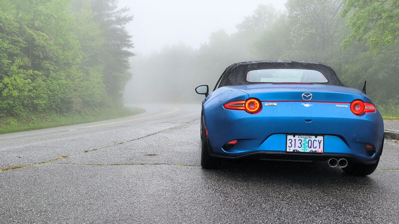
Foggy Morning on the Blueridge Parkway
Last Friday, when I was traveling from Robbinsville to Asheville, I had hoped to travel some of it along the Blue Ridge Parkway. No matter how I tried, Google wouldn’t allow me to use the parkway. I Googled “how come google maps won’t let me select the blue ridge parkway?” The answer came back, “Google Maps typically prioritizes the fastest, most direct routes, and the Blue Ridge Parkway (BRP) is not considered a typical, fast-paced road.” Convinced I couldn’t get there from here, I went about telling several people how Google Maps sucked.
I was wrong; Google will direct you onto the Parkway. How do I know? It put me right on it this morning where John, Carol, and I got on yesterday.
And in spite of the dire warning from John & Carol and the big yellow sign on the way onto it, to not travel it in fog and rain, I took it all the way to Blowing Rock. This morning’s fog and rain kept me moving at only around 35 MPH until I got under about 4,000 feet level, and even then the Parkway’s posted 45 MPH speed limit was fast enough for me. I saw no one traveling in my direction, and maybe a half dozen passed in the other.
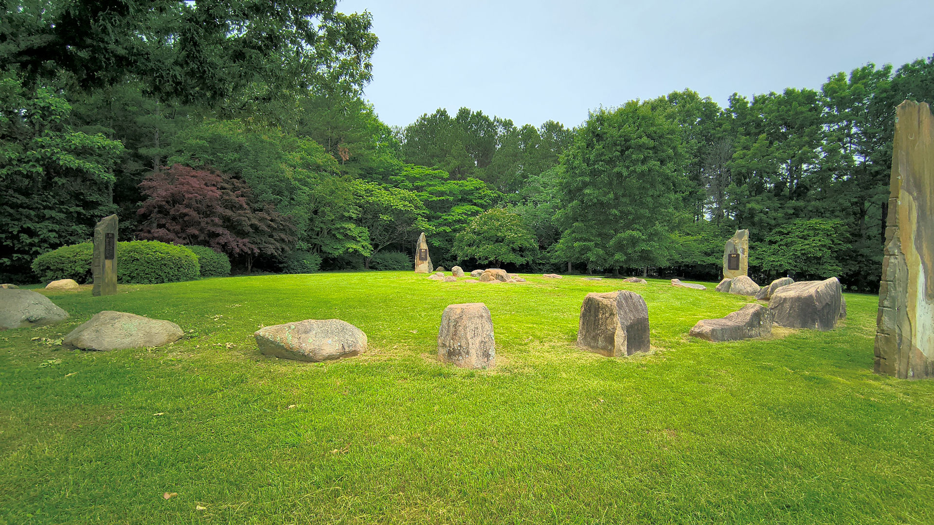
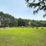
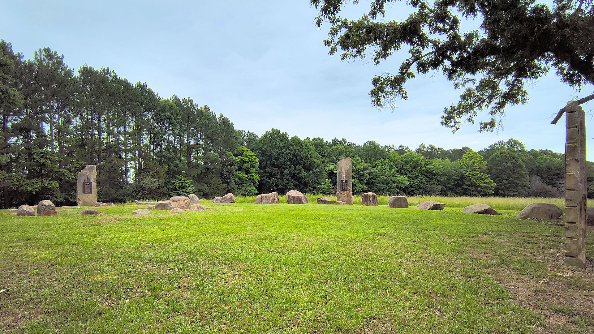
Today’s Roadside America find occured in the small community of Calvander a few miles from Chapel Hill proper, Hartleyhenge and unlike the original, it is more of a spiral than a circle. Also, it’s very worth a visit if you are ever in this neck of the woods.
-
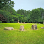
- Hartleyhenge 1
-
- Hartleyhenge 2
This, of course, is my second “Henge” of the trip, and another notch in my belt, see: Road Trip – Day 10: A Giant Rabbit & Another ‘Henge